Marina Bay, Singapore, in four colors of PLA
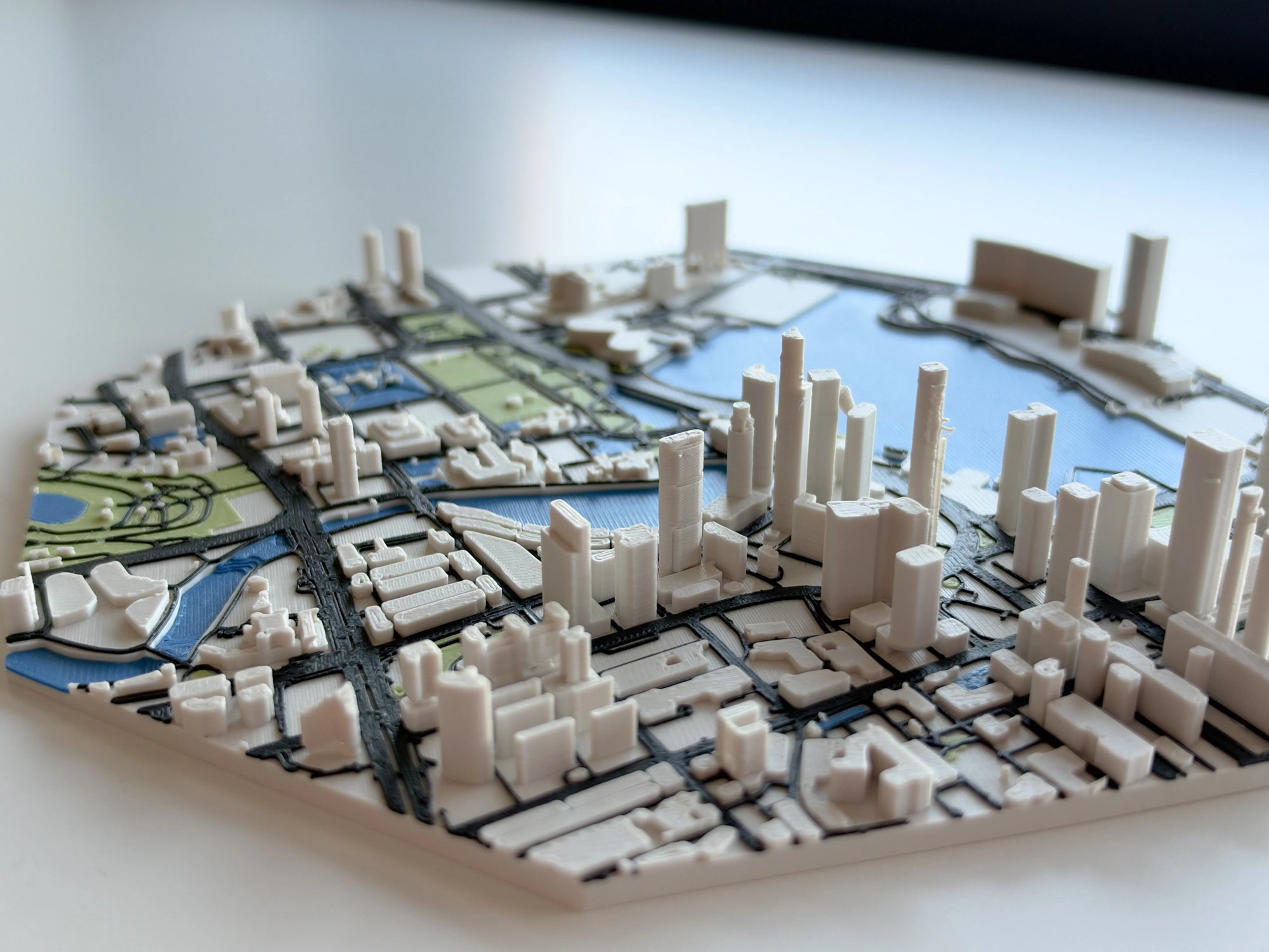
Singapore's Marina Bay as a multi-color 3D printed city map: raised towers, black roads, blue water and green parks. Made with TrailMark3D, free on MakerWorld.
By Carlo ·
In short
Marina Bay, Singapore is a free 3D printable city map on MakerWorld, made with TrailMark3D's city maps. It prints in four colors of PLA (white buildings, blue water, black roads, green parks) on one plate in about six hours, with the colors already assigned in the 3MF.
Most of what gets made with TrailMark3D starts on a trail. This one starts on a waterfront.
Marina Bay, Singapore is a 3D printable city map of one of the most recognizable skylines in Asia: the bay itself, the Singapore River curling into it, the towers of the business district packed shoulder to shoulder, and the parks and open lawns that break up the grid. It's live on MakerWorld now, free to print.
A map you read with your hands
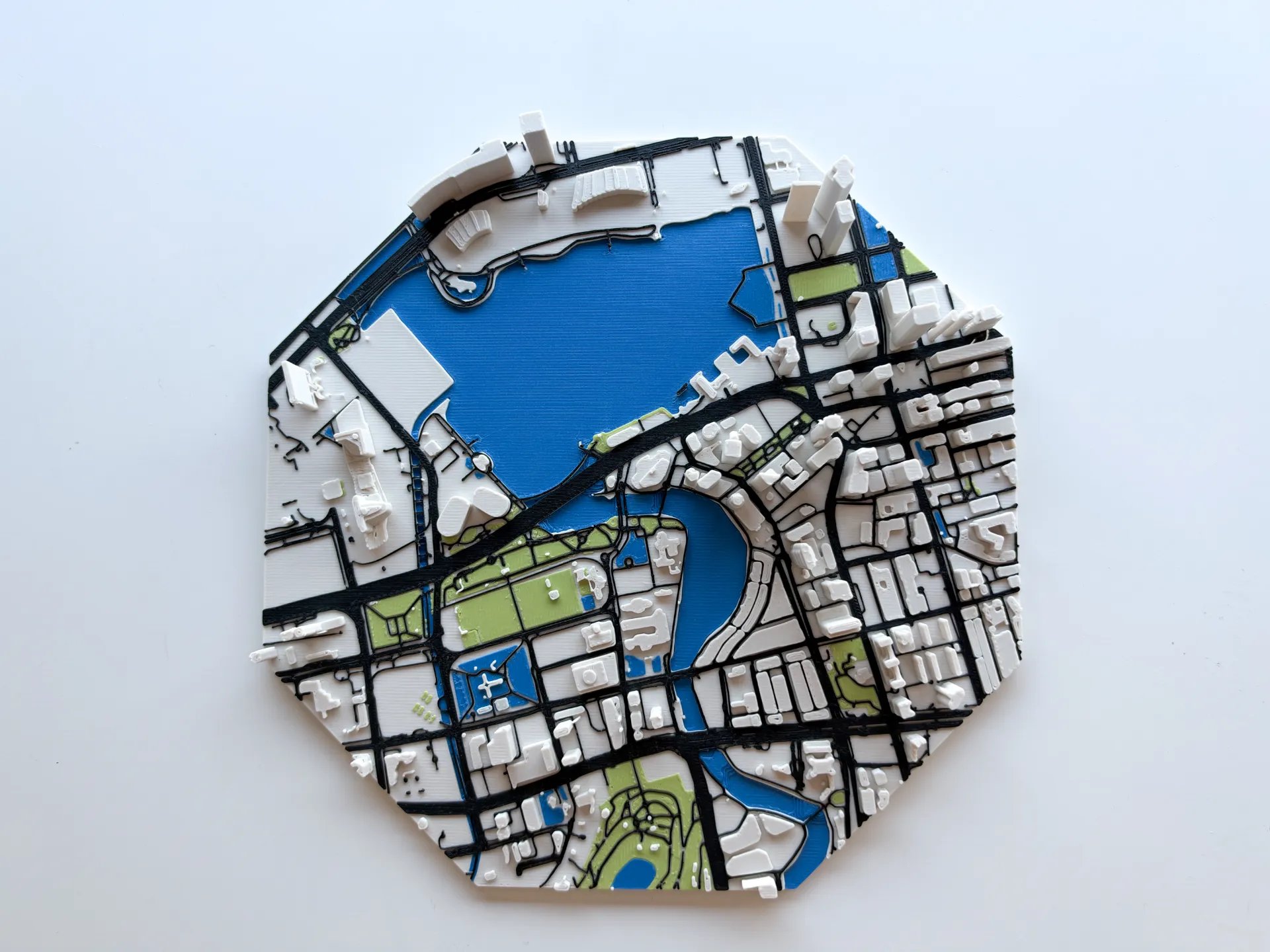
From straight above, it reads like a map. Water is blue, roads are black, parks are green, and every building is a raised white block sitting exactly where it stands in the real city.
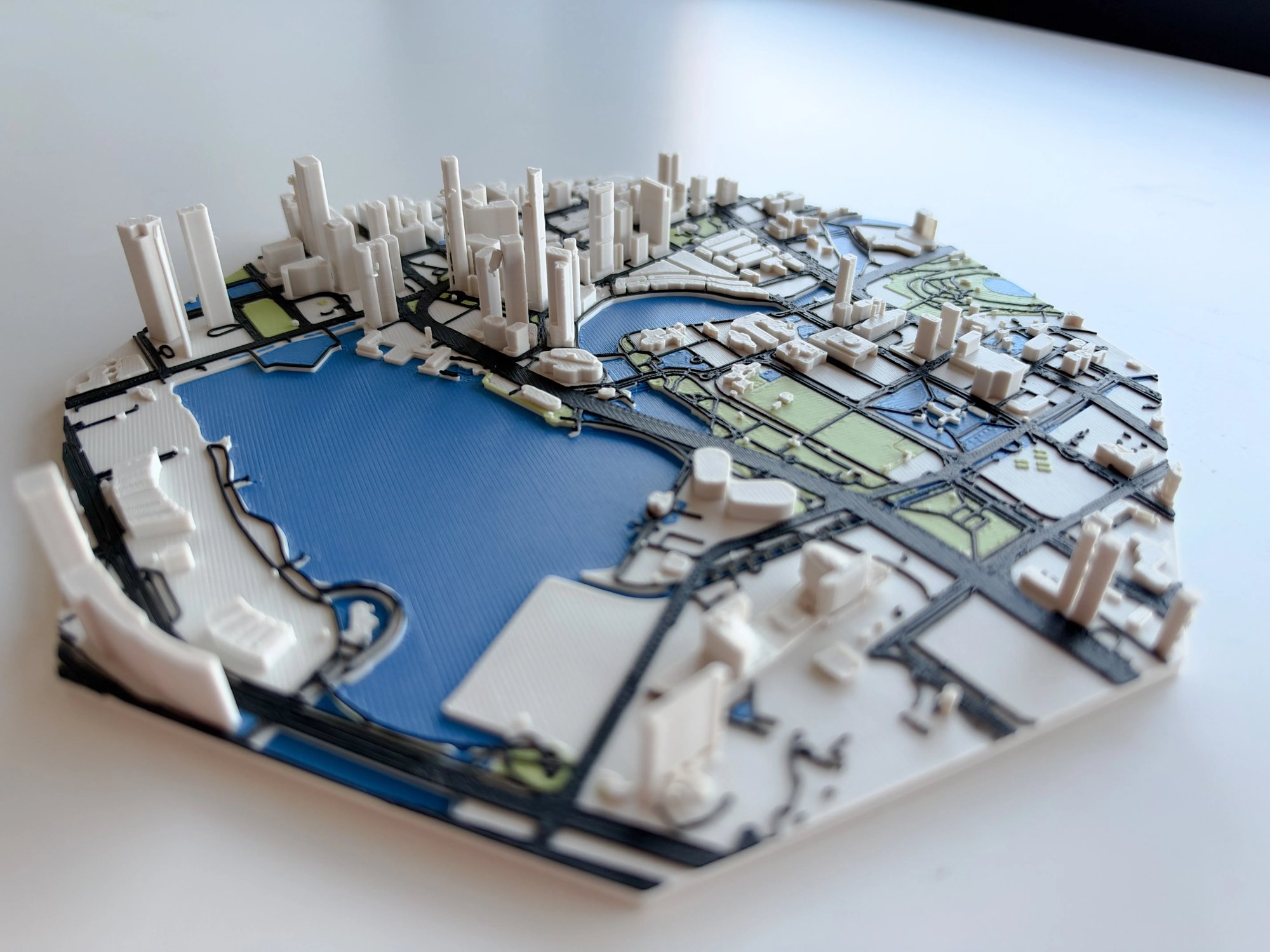
Tilt it, and it becomes a skyline. The downtown towers stand tall enough to cast shadows across the street grid, while the low blocks around them keep their real footprints. You can trace the river's bend, find the bridges crossing it, and follow the expressway along the edge of the bay.
How it was made
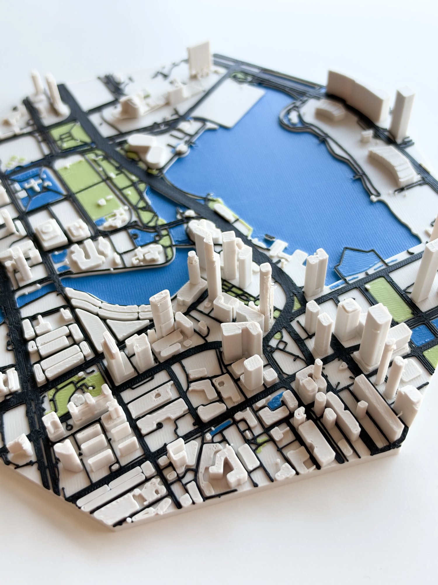
The model came out of TrailMark3D's city maps, which start from a place instead of a GPX track: you search TrailMark3D for a city, a neighborhood or coordinates, and it builds the area from real map data. Building footprints and heights, the road network, waterways and green space each become their own part in their own color, so the exported 3MF drops straight into a multi-color printer without painting a single face by hand. The city map tutorial walks through it.
Pick a different spot or a different size, and you get your own version of the same idea.
Printing it
The MakerWorld listing ships a ready-to-print project for the Bambu Lab A1, and it works across the Bambu lineup:
- Plates: 1
- Print time: about 6 hours 15 minutes
- Weight: about 114 g of PLA
- Settings: 0.4 mm nozzle, 0.2 mm layers, 2 walls, 15% infill, no supports
- Colors: Bone White Matte (buildings), Blue Matte (water), Black Matte (roads), Matcha Green Matte (parks)
You'll want an AMS or another multi-color setup, since the colors change layer by layer as the roads and water give way to buildings. The color assignments are already in the 3MF, so you load the filament and go.
Make your own city
Marina Bay is the start. The same tool will build the city you grew up in, the neighborhood you moved to, or the place you went on the trip you still talk about. Grab the Singapore model, print it, and if you make one, post your make in the MakerWorld comments. I'd love to see it.